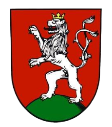
The town of Klimkovice lies on the main road I/47 - Hranice - Odry - Fulnek - Bílovec - Ostrava. The town of Klimkovice is situated at approximately 49°47' north latitude and 18°08' east longitude. The highest point of Klimkovice domain is Mezihoří hill (382 m), the lowest point is near the gully of the river Polancice (238 m). Other parts of Klimkovice include Josefovice, Hylov, Václavovice and Mexiko. In total, the size of the whole territory belonging to the town of Klimkovice is 1423 hectares.

Klimkovice

 Více o aplikaci

